Mapping Earth’s biodiversity from space and understanding its role in the Earth system
3rd June 2022 | 2:35 pm – 2.55 pm
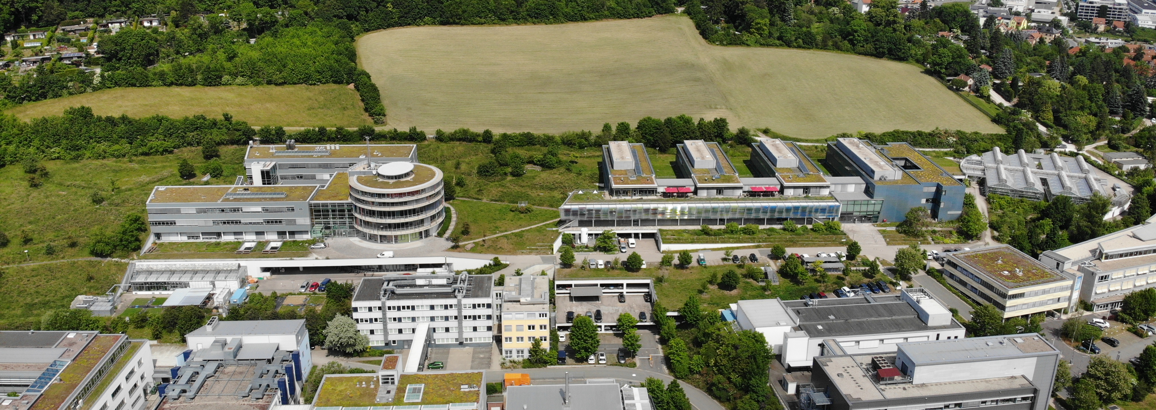
Hans-Knöll-Straße 10, 07745 Jena, Germany
BGC Lecture Hall
Zoom: will be provided
Session 4 – Global Modeling and Feedbacks (Sönke Zaehle, moderator)
3rd June 2022 | 1.30 pm – 3.25 pm
Abstract
Biodiversity is the variety of Earth’s life at all levels of its organization; from individuals, to populations, to species, their genes and characteristics, the communities and habitats in which they live, and the interactions among and between all of those. Earth’s complex web of life forms drives the functioning of ecosystems through countless reciprocal interactions among organisms and the abiotic environment. These maintain the processes (e.g., productivity, evapotranspiration, and decomposition) that control the fluxes of carbon, water, nutrients, and energy through the Earth system. Human wellbeing depends on the goods (like food, wood, and medicines), environment regulating services (like erosion control or climate regulation through carbon sequestration and water cycling), and the countless aesthetic and cultural services that biodiversity provides. Despite its vital importance, many aspects of Earth’s unique biodiversity are in worrying and intensifying decline due to human activities like climate change, pollution, habitat destruction, overexploitation, and the spread of invasive species and disease.
Mounting evidence synthesized from many biodiversity manipulation experiments and long-term monitoring plots, conducted primarily at small spatial scales, indicate that biodiversity changes threaten the ecosystem services essential for human wellbeing. Consensus findings show that biodiversity loss tends to degrade ecosystem functioning and increase ecosystem vulnerability to environmental change (i.e. decrease ecosystem resilience). Further analyses of multiple experiments reveal that these biodiversity effects increase over time, with increased spatial scale, and when multiple functions are considered simultaneously. However, at regional and global scales, relatively little is known quantitatively about how much and what kinds of biodiversity can be lost before key aspects of ecosystem functioning are eroded. The extent and rate at which biodiversity losses are pushing ecosystems towards critical tipping points in to undesirable and irreversibly degraded states with decreased functioning and dangerous reductions to ecosystem services remains a major gap in Earth system knowledge.
Large-scale biodiversity monitoring is needed to fill this knowledge gap and to enable policymaking and management decisions needed to change the trajectory of the biodiversity crisis. But, this is technically and logistically challenging due to the large effort needed to measure biodiversity on the ground, sparsity of monitoring sites, and accessibility of remote ecosystems. Fortunately new and planned hyperspectral, thermal, lidar, radar, and animal telemetry satellite missions are enabling a new era for global biodiversity science, greatly improving the prospects for mapping and monitoring of biodiversity in space and time when combined with in-situ data sources. Here are I will describe some recent efforts to use these emerging remote sensing methods to map aspects of Earth’s biodiversity, understand its the interactions and feedbacks with the broader Earth system, and reduce humanity impacts upon it.
Biography
Dr. Ryan Pavlick is a scientist and systems engineer at the NASA Jet Propulsion Laboratory. He studied Geography at the University of Maryland. He then spent over five years at the Max-Planck-Institute for Biogeochemistry as PhD student and postdoc in the Biospheric Theory and Modeling Group. He earned his PhD from the University of Hamburg in 2012 for his dissertation on the development of the Jena Diversity-Dynamic Global Vegetation Model (JeDi-DGVM), which pioneered a new approach to terrestrial biosphere modeling with a richer representation of functional diversity than traditional approaches based on a small number of fixed plant functional types. His current research focuses on using remote sensing, especially imaging spectroscopy, to understand the patterns and processes of Earth’s biodiversity and its interactions with the broader Earth system. He also works on developing satellite missions such as NASA’s Orbiting Carbon Observatory 3 (OCO-3) instrument on the International Space Station, the NASA Surface Biology and Geology (SBG) mission concept, and a next generation system for tracking animal movement from space in collaboration with the Max Planck Institute for Animal Behavior. Dr. Pavlick has also planned and executed scientific field campaigns around the world, including in California, Iowa, Alaska, Canada, India, Costa Rica, Iceland, Europe, and South Africa. Ryan lives in Pasadena, California with his wife, Damiana, and their two rambunctious dogs, Lily and Toby. In his free time, he enjoys traveling, gardening, photography, and scuba diving.
